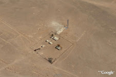
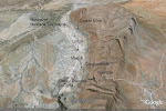
As a professional petroleum E&P geologist I find Google Earth a fantastic tool to assist in my work. I subscribe to Google Earth Pro and use it as a GIS type manager with the added benefit of 'seeing' the geology on the satellite data in most areas of interest.
I have built GE projects in
North Gemsa Basin Gulf of Suez / Eastern Desert, Egypt (2010)
Abu Gharadig Basin, Western Desert, Egypt (2009)
Orange Basin - South Africa / Namibia (2009)
Outeniqua Basin - South Africa (2009)
Papua New Guinea ( around the Aure Scarp - the location of my PhD topic) - (2005)
Romania (where I have conducted geological field work in the Carpathian Mountains, 2006-7)
Ukraine ( where I have made E&P studies- 2007)
Pakistan (Balochistan, in the Pishin Basin on the Afghani border in support of field and office studies made there 2006)
Pakistan (Punjab in support of E&P studies -2008)
Pakistan (NWFP, in support of Salajit studies-2004)
Pakistan (Islamabad's Margalla Hills mapping hiking trails-2001-3)
Namibia (to assist Prospect Inventory compilation 2008 )
Jordan (for an integrated oilfield and Prospect Inventory review- 2008)
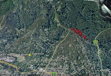
Victorian Bushfires 2009 ( navigation in the fire field and mapping)
This site will be developed further to illustrate these examples as time permits....